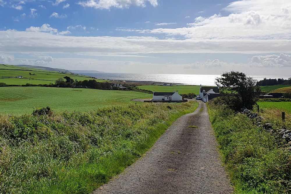
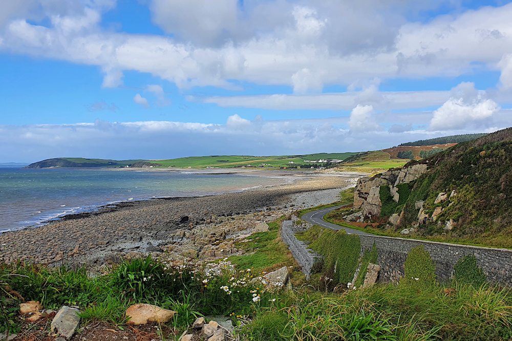
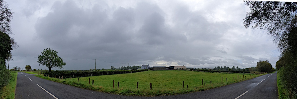
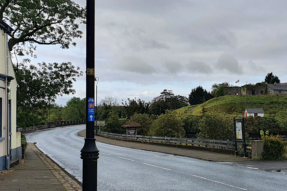
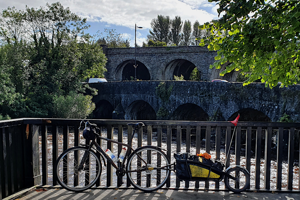
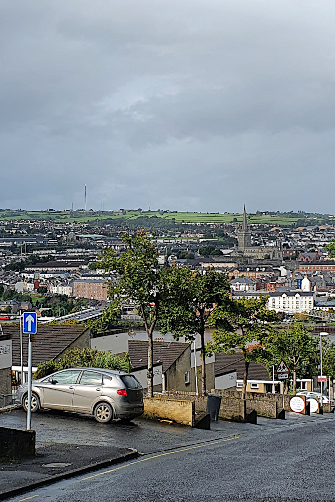
Exit, Pursued by Covid Restrictions

The Brecon Beacons were not on my initial plan at all.

Riding them would be lumpier than the coast. It would make the end of my trip unnecessarily hard, and also shorter. I’d miss both the big cities of South Wales, and the southernmost point in Wales. And the apparently beautiful Gower Peninsular. All very irritating…
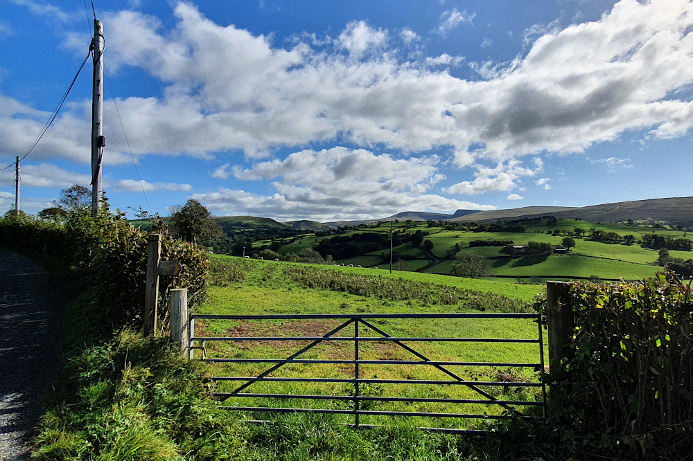
But, as the clunking fist of Welsh Covid restrictions tightened its grip across the region, it became clear that the detour away from the coast was a good move. Partly because climbing a range of big hills isn’t really all that bad, at least when they look this good.

And partly because the few areas of South Wales which were still navigable when I started out were locked down by yesterday (Sunday), making ‘non-essential travel’ illegal as well as very difficult.

If I’d stayed on the coast, I’d either still be firmly stuck there, or would be finishing the tour on a train instead of under my own steam. Neither of those outcomes would be entirely satisfactory.
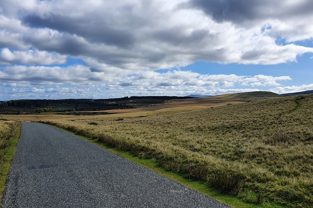
Instead, the biggest climb was over by Saturday lunchtime, and I was admiring the views that usually come from a little bit of altitude. The Brecons are also one of the UK strongholds of the once-extinct Red Kite, and I was lucky enough to watch a magnificent bird of prey riding the thermals over the tops for a few minutes.

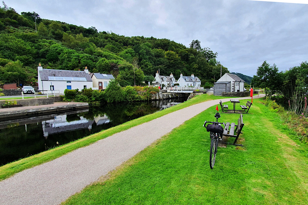
Then it was a fast drop into the Usk valley, before a long, gently downhill (if slightly undulating) afternoon, including a nice stretch on the canal towpath out of Brecon, above.

After a bit over 100kms, my penultimate day on the road was over. I was only a relatively short day’s ride from home, and within a couple of hours of the English border. With worrying about the restrictions, re-planning my direction, and a slightly shorter line than the original coastal route, I’d barely noticed that the ride was basically done.
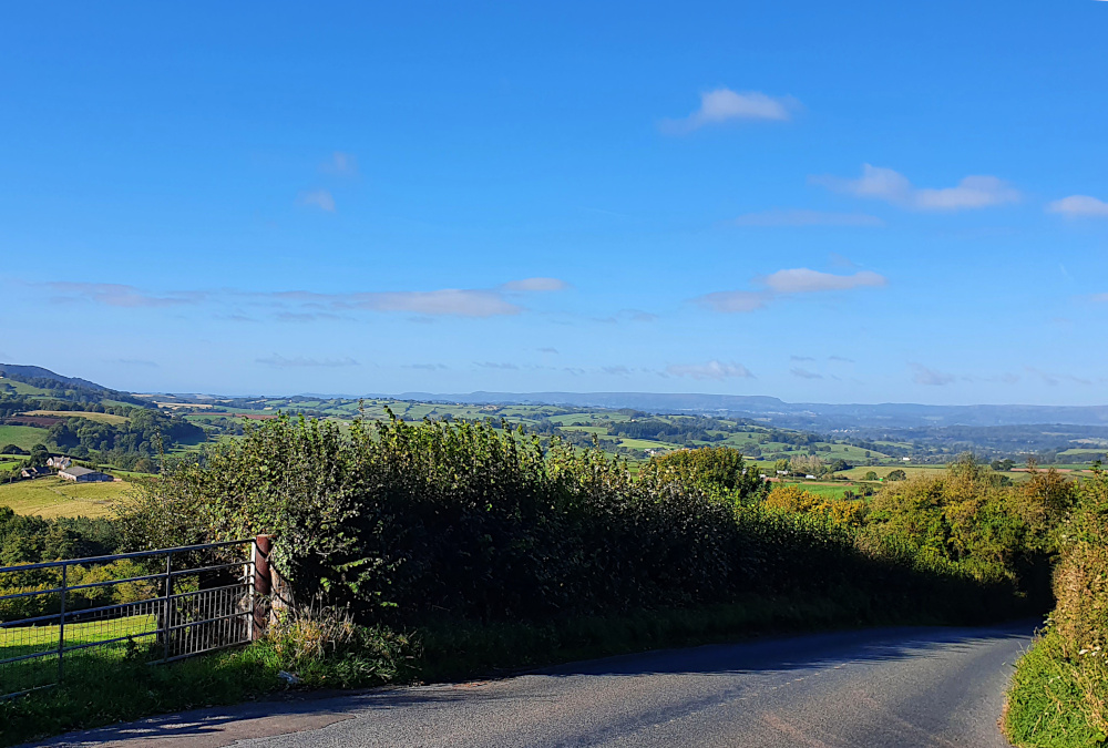
A cold but sunny start yesterday (Sunday), with a northerly wind pushing me straight towards Bristol, and home. Things speeded up with the tailwind. Breakfast in the cold, some country lanes, one more proper hill before the drop to the River Severn. A nice view back into the Welsh countryside from the top of my last 15% ramp (above).

Blown along the ridge above the Wye Valley through Devauden. An even higher-speed drop to Chepstow racecourse, and a gentle but quick run along the gently descending bypass to the original Severn Bridge. The end of Wales. Which, with castles and kites and spectacular coastlines, was actually pretty good, despite the Covid-related frustrations. Diolch, Gymru!
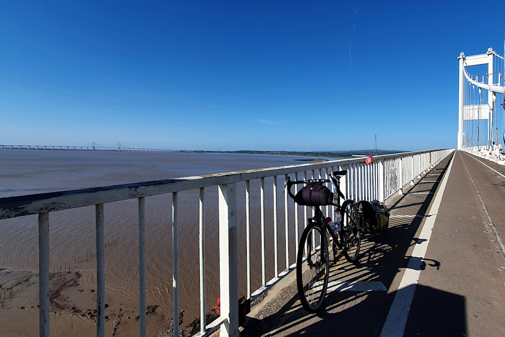
I got to the middle of the mighty River Severn, suspended between Wales and England, before I decided I needed to slow down a little. And actually enjoy the end of the trip, rather than just hammering towards it. I had to slow down and smell the roses, or wake up and smell the coffee. Or something like that.
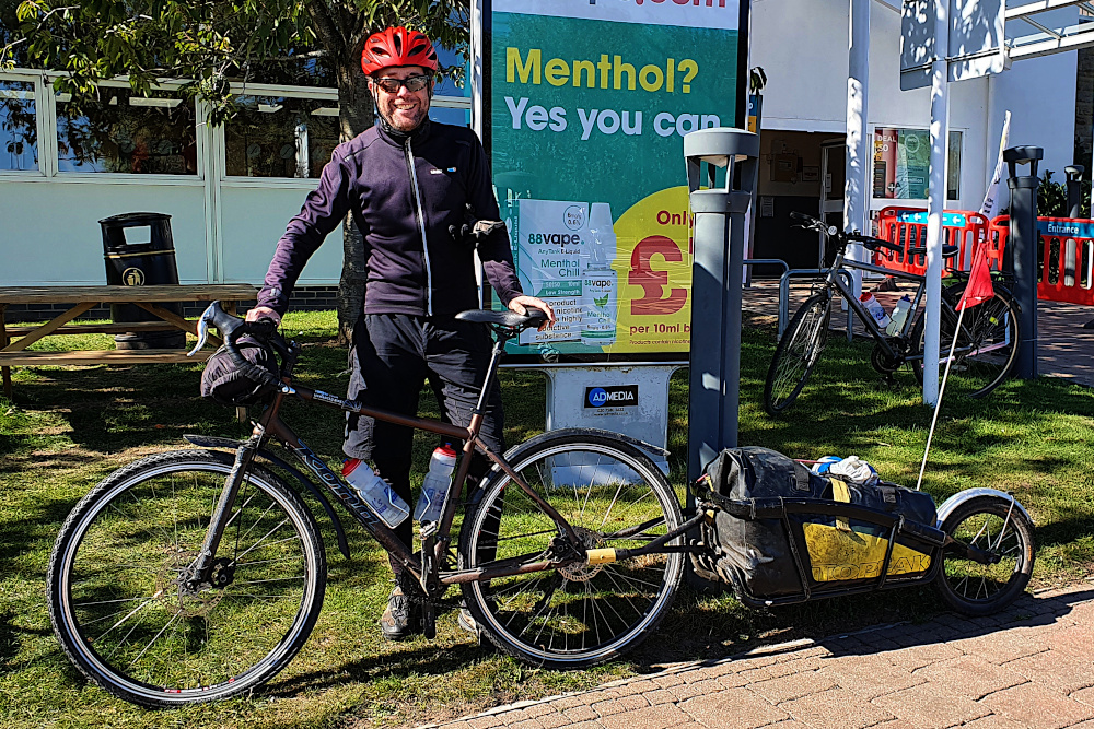
As it happened, it was smelling (and drinking) the coffee. Dan from Bool’s Bicycles and a mate of his were (almost coincidentally) crossing the bridge in the other direction for a couple of days away, so it was a cuppa and a chat at a legendarily disappointing service station, just into England.

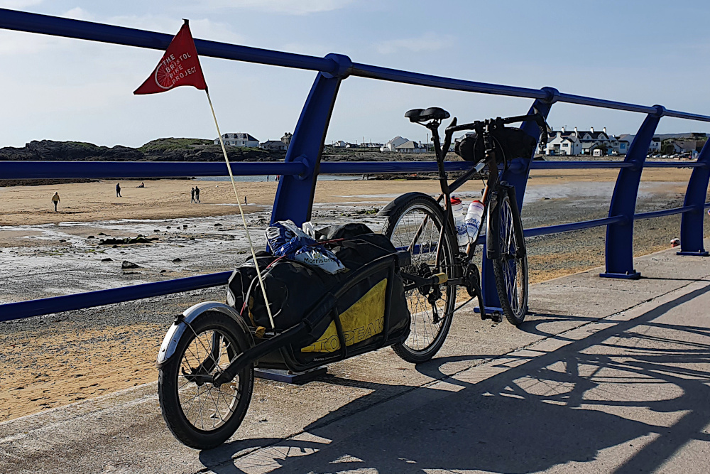
And a rare opportunity to get a picture of the bike, trailer and me all together. Stylish, huh? With possibly the least inspiring background of the whole trip, too…

A gentle and flat drift along the floodplains on the Bristol side of the Severn. Marvelling at the industrial warehouses, incinerators and giant wind turbines. It’s not the way I’d normally choose to head into central Bristol – there are plenty more direct and more scenic options.

But there’s one big benefit of putting up with the industrial detritus out by the Severn. It means you can follow the River Avon into town, through the gorge. And there’s really only one proper way to enter Bristol centre after a long trip away – under the Clifton Suspension Bridge on a lovely sunny afternoon. Not too bad…
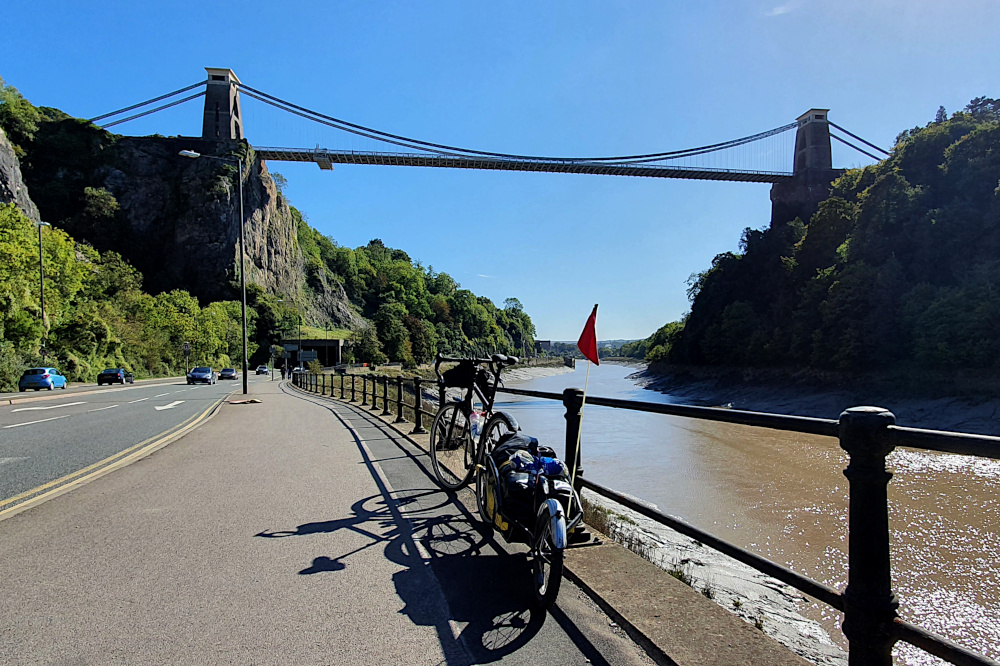
I trundled gently home through the city, past surprisingly large crowds of drinkers on the quays, soaking up the sunshine before the depressing prospect of a dark and virus-dominated autumn and winter.

The post mortem starts almost immediately. Another big ride done. The four corners of the UK covered. A suspiciously round number of miles under the wheels. The mixed feelings of satisfaction at finishing, and wishing that the ride would go on for longer. The warped sense of time that makes it feel like I’ve been away for years, even though it’s been less than 80 days.

And the question that always surfaces for me at the end of a big trip…

Right, then. Where next?

Escaping the Pembrokeshire Dangler

As you may have gathered from the previous post, Covid-19 (or rather, the various UK authorities’ reaction to it) is finally having a major impact on my route and plans.

It’s left it very late in the day, thankfully. And it seems to have left just enough of a gap for me to squeeze over the finish line before the gates slam shut.

Just a few minutes after I last posted here on Wednesday morning, I was already firming up plans to re-route to avoid the local lockdowns in South Wales. I was also being soaked by a continual band of heavy showers, and getting somewhat upset with the weather forecast, which had promised me a nice sunny, if breezy, day.

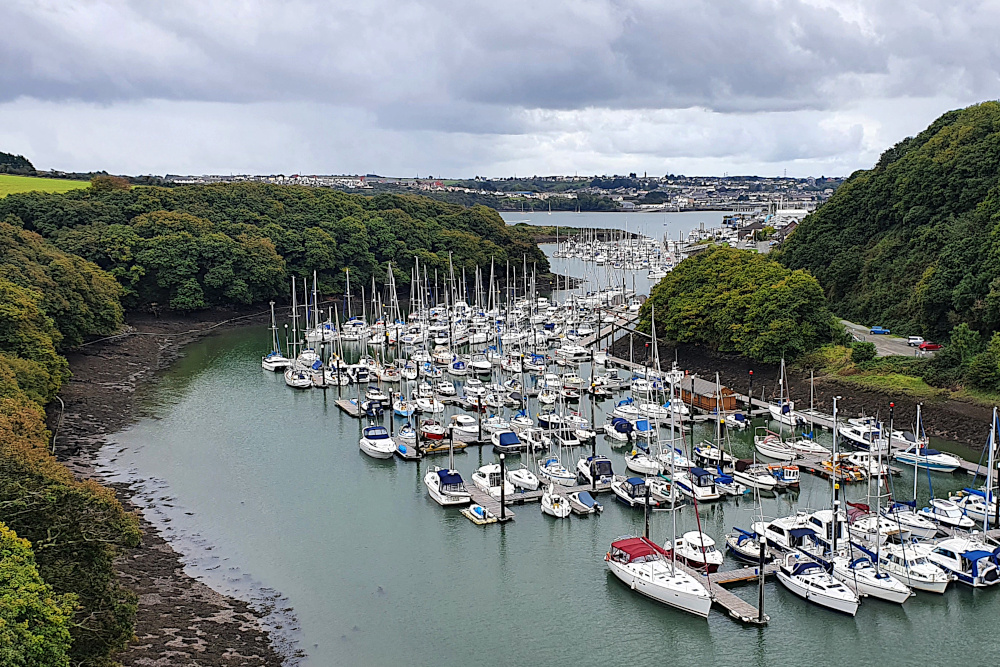
The rain eventually cleared in the afternoon, and I continued south with a tailwind before hitting the huge inlet of Milford Haven (though I was well inland of the town of the same name). As well as being a base for local yachties, Milford Haven also contains a colossal gas terminal further towards the sea, keeping the UK’s fossil fuel addiction burning.

Although increasingly unbelievable, the forecast for Thursday was awful, so I decided to risk one final rest day to plan how to finish up without getting trapped.

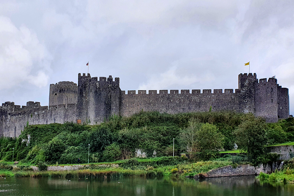
Pembroke is not a bad place to be stuck on a rainy day, with possibly my favourite castle of the whole trip (though there’s stiff competition) parked in the centre, and another old and wiggly town built around it. There’s a lot of history there, too, as there’s been a castle in Pembroke since the 11th century, and it’s the birthplace of King Henry VII.

Meanwhile, out in Covid land, there were more rumblings from the Welsh government about adding even more areas to the local lockdowns, including Cardiff and Swansea, Wales’ two biggest cities. This would wipe out any small chance that I could zip through the Covid zones on each side of Cardiff.

I had to give up on following the coast, commit to the hilly inland route via Brecon, and get planning.

The Covid ‘second wave’ in Wales is actually not as bad as it is in England, but the Welsh government seems to tend towards stricter lockdown measures. During Lockdown 1, back in the springtime, they had a five-mile travel limit. I don’t want to risk getting stuck with that sort of thing, so am aiming at the quickest possible route back, without touching the exclusion zones in the south.

After a wetter than expected day, and a fully wet day, I was fully expecting yesterday (Friday) to defy the weather forecast and be wet too. In fact, it turned out OK, with just the odd (very heavy) shower scudding through the area on a strong northerly wind. I headed slightly north of east through the sunshine towards Carmarthen (above and below).

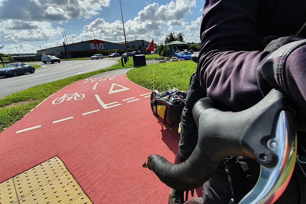
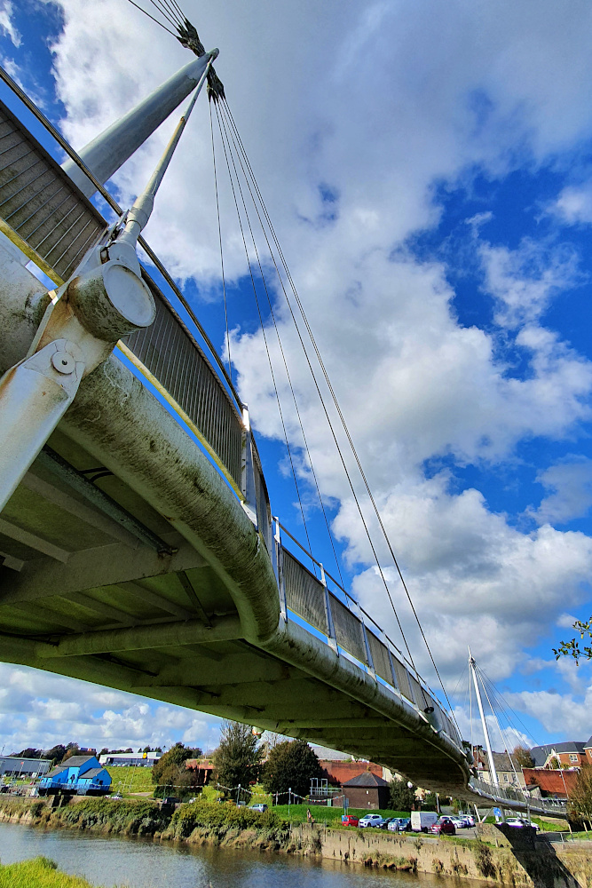
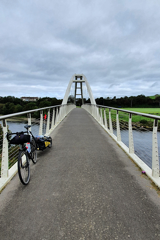
As well as the Welsh road surfaces being by far the most consistently decent in the UK, they’re also making some decent strides on the bike infrastructure side of things. Some rubbish signposting aside, Carmarthen boasted both some extremely bright (and therefore easy to follow) bike paths, and a fairly spectacular cycling / pedestrian bridge.

Carmarthen is also the gateway to the pretty Towy valley, which provided a gentle route towards the big hills of the Brecon Beacons. Even as I was heading up the valley yesterday, the expected Swansea and Cardiff lockdowns were announced, so it looks like I made the right call on the route.

Today, it’s a big hill pretty much straight out of the gate, up onto the Brecons. Fingers crossed, that’ll take me to the start of an exceptionally long (by British standards) downhill run across the top of the Brecon Beacons National Park, avoiding the Welsh Covid zone.

And one more day should take me home, and the end of the trip. Suddenly that’s tomorrow, which seems slightly insane. It remains to be seen whether things will actually be that simple.

And the Pembrokeshire Dangler? Nothing rude, and not a peculiar local delicacy. Nor even a medical condition or the local serial killer. No. It’s a line of rain showers which occur when there’s a northerly wind picking moisture up off the Irish Sea. Beautiful weather on either side, and a constantly miserable time for anyone stuck underneath.

Sounds very familiar. But I’m not in Pembrokeshire any more…

West Wales – the Honey Trap

Yesterday (Tuesday) was the day the sun dimmed.

Maybe not literally (I assume it’s still out there in the middle of the solar system, doing its thing). But it certainly took advantage of the autumnal equinox to duck out of my way for a while.

And maybe the light dimmed figuratively, too, as the UK began a seemingly inevitable slide back towards Covid lockdown.

Despite only being about a week away from finishing the trip, there’s a rapidly increasing chance that the south-west corner of Wales might become a trap from which I can’t escape on the bike.

But, before most of South Wales locked down in front of me yesterday, the West certainly lured me in. It’s stunning.

On Sunday morning, I trundled most of the way from Bangor to Caernarfon on a bumpy cycle track, and then spent a little while enjoying the walled city, and magnificent castle (above). It was an impressive introduction to the west coast.

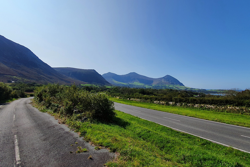
One of the big advantages of the light fading this far north on the planet is that (on the occasions that the sun actually shines) the light stays beautiful for a lot longer at the start and end of the day. Long shadows and sunshine make anywhere look nice, but the Lleyn peninsular, which sticks out into the Irish Sea, doesn’t need much help (above).

The only trouble with a solid semi-circle of high hills dropping into the sea is that you’re likely to have to climb them at some point. I’d managed to avoid 15%-plus gradients for a while, so it was a bit of a shock to be grinding up them again.

On the other hand, a little bit of effort led to some lovely views (above), and gives you access to the pretty towns and bays of the southern side of the peninsular, like Criccieth (below).

Sunday had been lovely, and I was pretty sure that Monday wouldn’t be able to match it. On paper, it was a long grind down the main coast road (like many remote places, all the traffic has to use the one big-ish road round here), which was not necessarily likely to be much fun.

The morning quickly put my mind at rest. Only a few minutes down the road from Criccieth, where the Lleyn peninsular meets the mainland, it was looking like this:

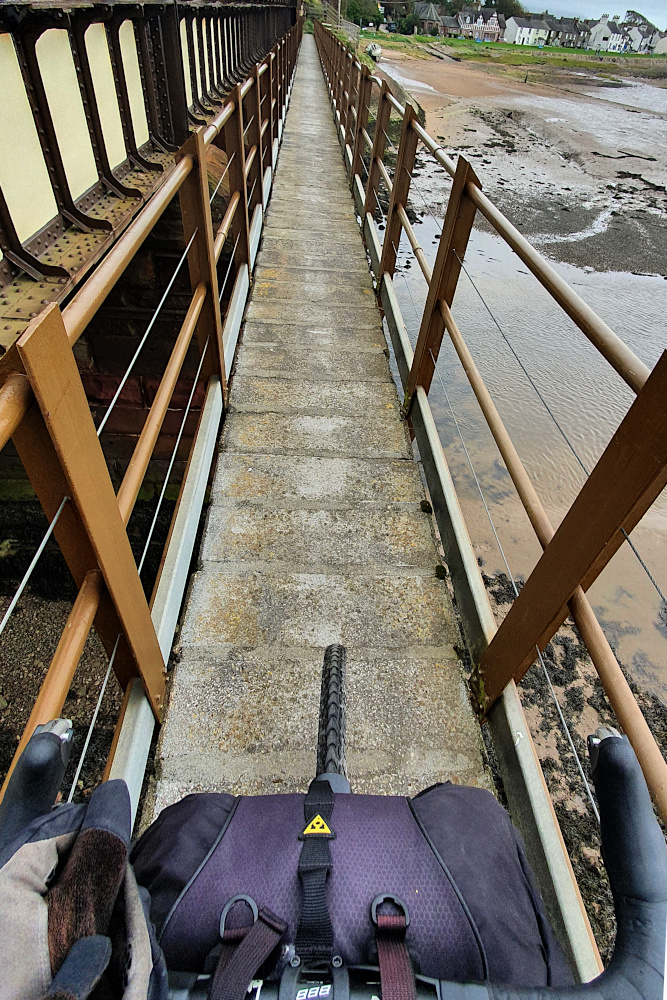
And the scenery barely let up all day. Even in the handful of miles around Barmouth, you get the pretty town, followed by the wooden cycle / footbridge attached to the railway across the estuary (below).

Then you push on a little, hit a little ramp out of a village, and suddenly realise that you’ve got a spectacular view of the town, the bay and the area around it (below). And not actually very much traffic to contend with until you get down to Aberystwyth.

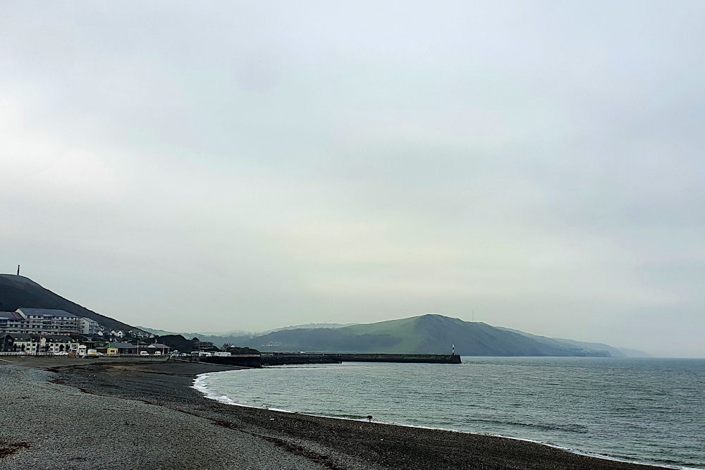
Aberystwyth was where things started to change. When I arrived on Monday evening, it was basking in golden evening sunshine. Heading further south yesterday (Tuesday), however, things were suddenly looking much duller and less cheerful:

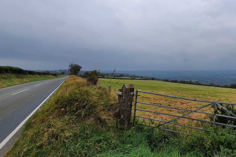
The road was busy, so I swerved into smaller lanes, which were pleasant, but super hilly. Combined with the occasional patch of drizzle, things were already a little miserable even before the politicians started lining up on TV in the evening.

There’s little doubt that summer is over (both literally and metaphorically). I’ve only got a handful of days to ride to get back to Bristol and finish the ride. But there’s now no route along the south coast of Wales, as most counties have entered local lockdown. And there’s rain on the ground this morning, and more incoming from the Atlantic. The temperature’s through the floor, too.

As it stands, there’s still the chance to squeeze through to the end. I can shunt the route inland from South Wales, although that would involve some heavy climbing through the Brecon Beacons. But with things moving so quickly in Covid World, it’s far from clear that the alternative route will remain open for long.

It’s fingers crossed time…

To Anglesey, and the Covid Squeeze

After the stunning success of pretty much every pun I’ve come up with, I’ve spent a chunk of the last few days on the bike trying to come up with a way of getting ‘it’s the angle, see’ into a sensible sentence. Having found no realistic way of doing so, I’ve decided (wisely, I think) to just leave it.

I escaped from Liverpool on the ferry ‘cross the Mersey 24 hours before they announced new Covid restrictions, along with most of the north of England. The only barrier to my departure was a significant number of sand drifts covering the sea-wall bike paths along the edge of the Wirral peninsular.

Just a couple of hours after leaving Liverpool, and fresh from a decent rail path down the west side of the peninsular, I was heading across the valley of the river Dee when I crossed into Wales (the fourth and last of the UK’s constituent bits for this trip).

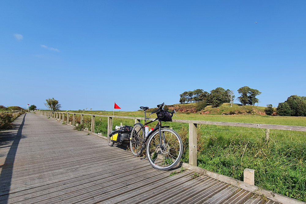
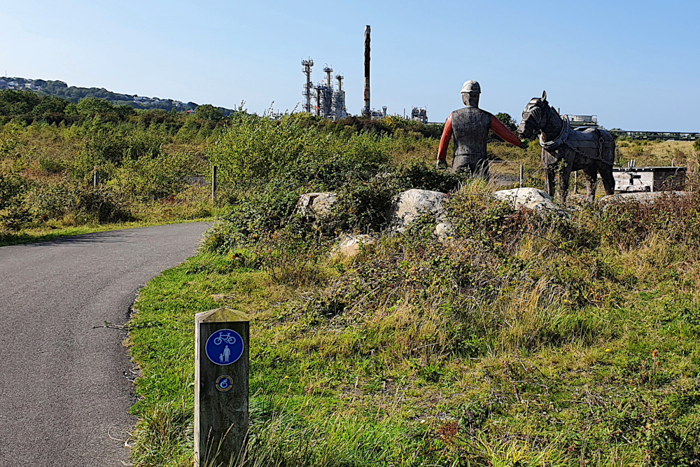
I’m not sure if the nice boardwalk over the Deeside marshes (above) was in England or Wales, but being confronted by a wooden miner a few miles later (below) confirmed that I had, indeed reached the Welsh side of the border.

The north coast of Wales is a series of holiday resorts, for the most part with broad concrete sea walls to ride along. This should be both nice and quick. And the lack of traffic is nice. But the propensity of wandering pensioners to lose all sense of spatial awareness when grappling with chips or ice cream made things slow. Very slow in places. In a normal (non-Covid) summer, it must be nearly impossible to make any progress at all along the north coast.

Things change after Llandudno. The coastline tilts southwards, faces the island of Anglesey across the Menai Straits, and takes on more of the character of the mountains of Snowdonia, which are never far away.

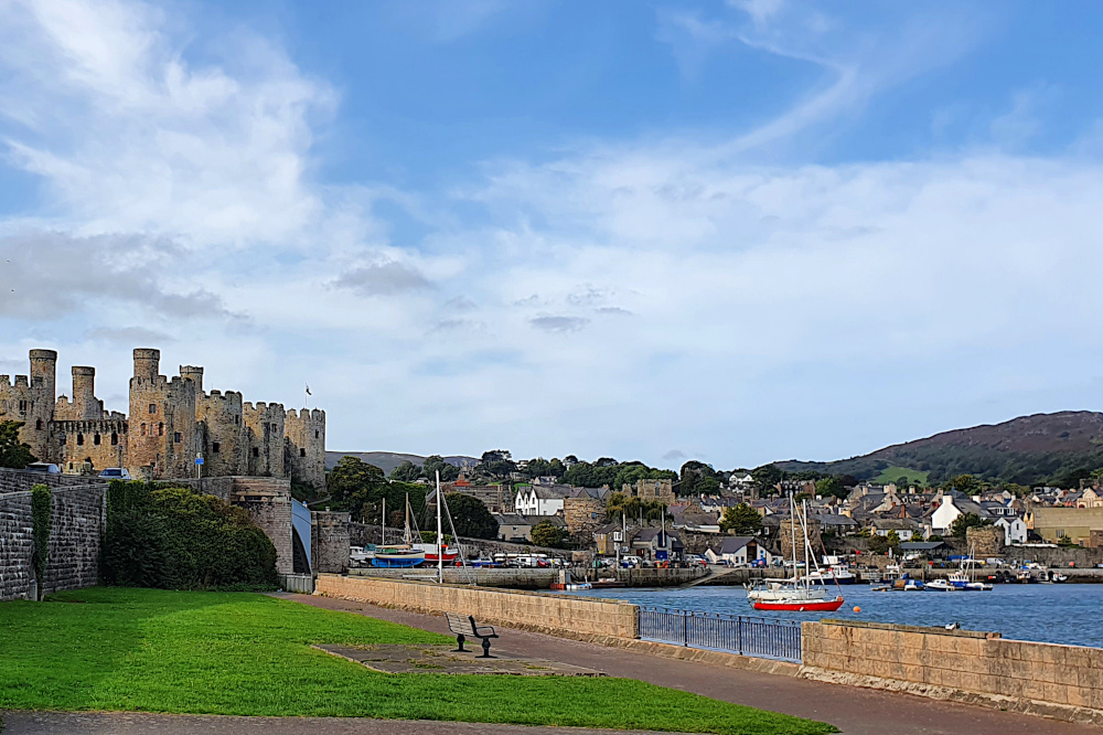
And castles begin to appear, like at Conwy (above), ringing the areas of Wales which the English found hardest to control back in medieval times. Pretty soon, it’s hard to move without stubbing your toe on another castle.

The pensioners disappear as the coastline becomes more rugged, and the route (still mostly traffic-free) becomes more spectacular. The only downside of this is that progress is a little tougher than it would be on the flat.

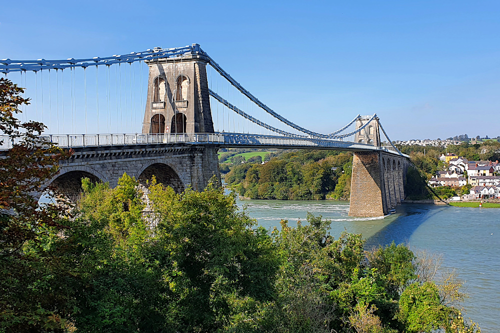
I spent most of the last two days lapping Anglesey (the second, after Northern Ireland, of my two laps-within-a-lap). Crossing the Menai Bridge (below) gives you a good view of the ferocious tidal current running between the island and the mainland.

And on Anglesey, the landscape changes again. The south of the island, especially, feels a bit like being back in Devon and Cornwall, with short, but very steep climbs on tiny country lanes. It’s very pleasant, but if you don’t already know the Welsh word for ‘Slow’, you will after pottering around the island.

If you’re in a hurry, the jet fighter trainers buzzing out of RAF Valley will exacerbate any frustration at the lack of speed. I wasn’t hurrying, so it was fun to watch them zipping around in formation for a while, before trundling down to the beach at Trearddur Bay (technically on Holy Island, a sub-island of Anglesey).

Yesterday (Saturday), it was the return to the Menai Straits and the small city of Bangor. There’s been an unusual, really strong north-easterly wind for the last few days, which blew me nicely along the north coast, but was pretty fully in my face as I struggled back towards the bridge. It’s all, erm, about the angles, see?

Ha! Think I got away with that pun, after all…

A quick stop at Beaumaris en route revealed part of another castle, but also a spectacular view back across the straits, almost all the way back to Llandudno. There’s more of that sort of landscape to come as I head south in the next few days.

That’s all assuming that the Covid situation doesn’t finally mess things up. I’ve been very lucky so far, but the last few days have seen restrictions ratchet up all over the country, and serious-sounding talk of further measures to come. Especially worrying for me is that there’s some discussion about areas of South Wales, which are on my route, and would potentially block it.

Having got so close to finishing the trip, it would be pretty gutting to be halted by Covid restrictions just a few days short of home. But it’s out of my control, so I’ll just have to keep plugging away until I can’t. Hopefully, I’ll at least get to somewhere with a direct train connection before things fall over…

Bright Lights, Big City. Eventually.

The Lake District is one of the most impressive areas of England, with towering (by English standards) hills dropping almost straight into the sea. Unfortunately, it took a while before the hills made themselves apparent. Everything over about 200 metres remained thoroughly shrouded in clouds until the day I left the area.

But the coast was nice. Possibly not including the waste nuclear fuel site at Sellafield, but otherwise nice. There was quite a lot of decent infrastructure, including this bike bridge at Workington:

And some crazy infrastructure, like this shared footpath / bike track bridge over an estuary a little further south:

Both these bridges are on the UK’s National Cycle Network. And while it’s nice to have a bit of variety, it gets very tricky to plan routes when the surface, size and quality of the bike path, off-road track or main road can change so much within in a few kilometres.

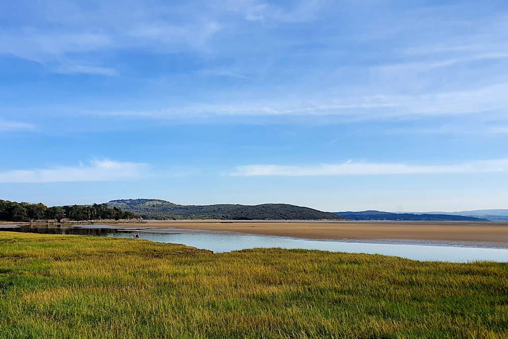
The weather kept some of the nicer bits of countryside hidden from me until I turned the corner, and began heading in another estuary-interrupted zig-zag along the south of the area. Monday was a beautiful day meandering along, including the bay at Grange-over-Sands (below).

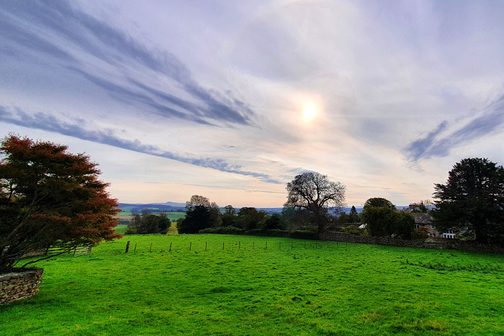
Having cleared the ‘bulge’ of the Lake District, it was time to hit Lancashire and head south. The landscape changed almost immediately, with just a few smallish hills (below) as I parallelled the M6 motorway for a little while.

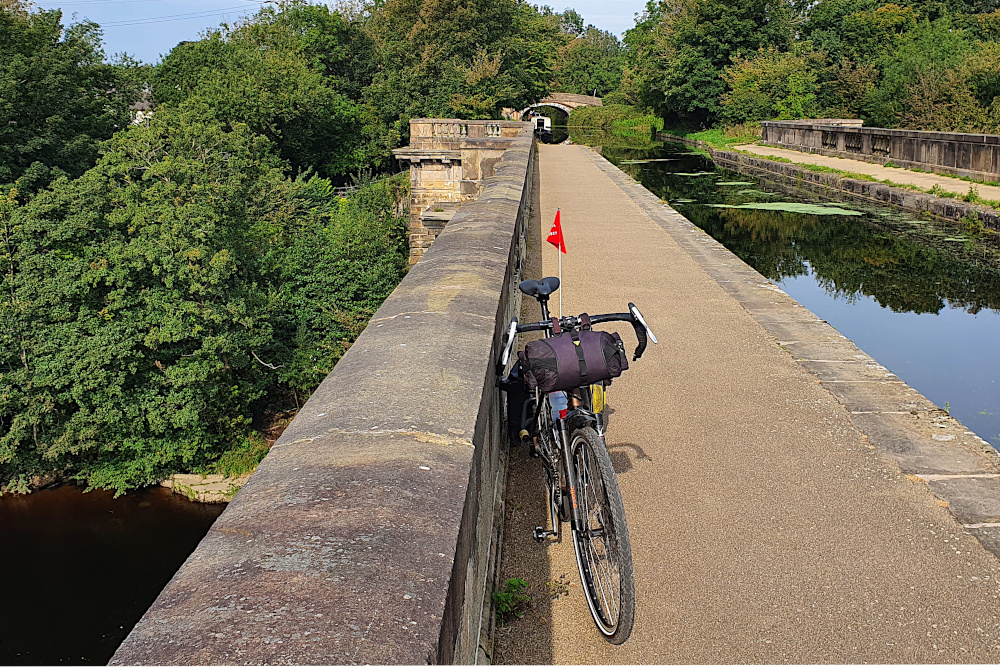
But I was pretty quickly into the flat lands of the Lancashire coast. I rode straight into Lancaster on the canal towpath, with suburbs below me as I followed the water. I always find it slightly bizarre when water is above the surrounding land, and was delighted to come upon this aqueduct (below), carrying the canal over the river Lune on the edge of Lancaster.

And from Lancaster, there’s barely been a bump in the road. Or, more accurately, the sea wall for much of the time. There’s been a lot of easy cruising along traffic-free sea defences, and paths through sand dunes. It’s generally been pretty relaxing.

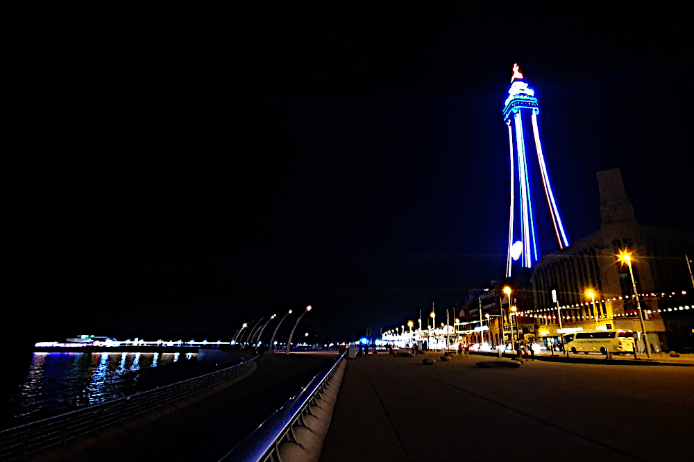
On Tuesday, I finally got to the bright lights of Blackpool. The illuminations are already looking quite impressive, but there are lots of closed hotels. The centre, much like every other large town and city in the UK, felt eerily quiet in the evening.

Blackpool’s big time was in the late Victorian era, as a seaside resort for workers in the Industrial Revolution’s heartlands of Lancashire, Manchester and Liverpool. There’s a bunch of similar resorts, which sprang up for the same reason along this part of the coast, most of which then fell on hard times in the late 20th century as people went abroad on holiday.

You’d think that the Covid crisis this year would have resulted in a massive surge of business back to these struggling towns, and a virus boom, but there’s not a lot of evidence. After an astonishing event – my first puncture after over 3000 miles! – more easy beach cruising took me to Southport (above), which again felt half-empty, despite the sunshine.

And yesterday evening, I rolled into Liverpool, to find a host of big hotels fighting over no business. I’ve taken advantage, and popped into a major brand place right in the city centre for only £25. While this is great for me, it can’t be great for the city.

I’ll be across the Mersey on the ferry, and then on into Wales today, which is really the final leg of the trip. From where I sit in Liverpool, it’s actually only a comfy three-day ride to Bristol. It’ll take much longer going around the edge, but once Wales is done, it’s only a few miles home.

It should be ‘interesting’ – Wales is getting hit with some major Covid spikes, which may complicate things, and they still have more restrictive travel rules than most of the rest of the UK. Fingers crossed I can get around without the road getting locked down in front of me…

Solway Wiggles

I’ve ridden nearly 300 km since the last post (I had a weather-induced rest day on Friday in the middle). And yet, in a straight line, I’m only 100km from where I started in Stranraer. Yesterday’s 110 km (69 miles) only got me just over 40km (25 miles) away from my start point, after a roughly 160 degree turn in the middle of the day.

There’s no doubt that I’ve been back in the west of the UK, as the road has wiggled around headlands and through hills around the Solway Firth. I didn’t really know much about the area, as English tourists tend to either stop to the south in the Lake District, or burn straight through to Glasgow on the motorway.

More should stop, as both the coast and interior of Dumfries and Galloway are lovely.

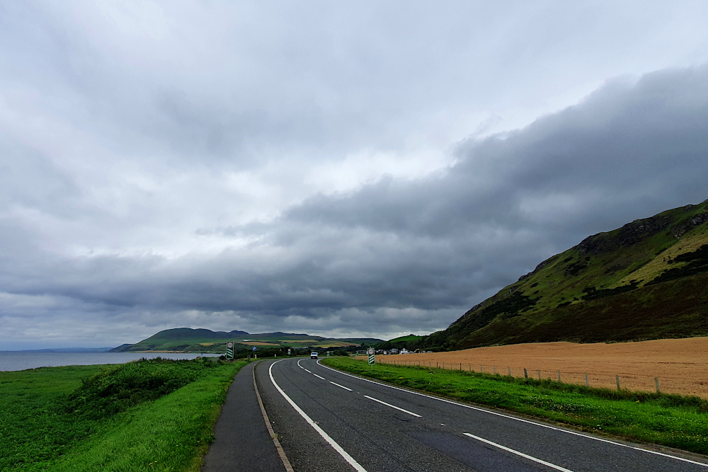
The two pictures above are on the way from Stranraer to Whithorn. I was super happy to be following a quiet, beautiful coastline that I’d never heard of, without the recent stresses of dodging showers all day.

The coast dives in and out of various estuaries, making following it a lengthy and time consuming process. In many cases, there are towns with bridges, but these are usually a detour of several miles upstream.

So I decided to cut inland a little to get a straighter line to Dumfries. But then you hit hills. The area really has it all; although hilly, these are not massive mountains, and mostly benefit from roads engineered with moderate gradients (if a few awful road surfaces).

The inland area is as pretty and quiet as the coast. And the area is also the UK’s first ‘dark skies’ zone, so you can even have a nose at the stars without background light pollution (if you get a clear night).

Dumfries town was pleasant enough, and a day of awful weather on Friday gave me the opportunity to wash my clothes for the first time in, erm, much too long.

It’s another place with a Robert Burns connection. He was born over on the west coast in Ayrshire, but spent a lot of his later life in Dumfries. You can certainly see how being in the midst of such stunning landscapes would be inspiring for a writer.

I wasn’t expecting an encounter with Devil’s Porridge on the way to the English border yesterday (Saturday). In the modern world, I’d imagine some sort of weird, spicy breakfast cereal. But it turns out that it was actually the explosive cordite.

As well as being the Scottish centre for eloping English couples to get married, Gretna was also the location of the biggest factory in the world during the First World War, turning out delightful explosive material to help everyone out in the trenches. There’s a little museum there now, just a couple of miles short of the border.

Crossing the border back into England brought with it the feeling that the trip is coming towards the end. That’s still a while off, as there’s still a large chunk of the English North West to get round (I’m starting in Maryport, above, on the Cumbrian coast this morning), as well as the whole of Wales. But I do feel sad to have left Scotland behind for this trip; it’s been great.

Those pesky local lockdowns haven’t yet impinged on my route, but there are more of them every few days. Liverpool and South Wales are probably the ones I need to keep the closest eye on. But for today, it’s more of the standard bike touring issues – near storm force headwinds, and those west coast wiggles. I’d better get cracking, as it’s not going to be quick today…

A Circle Formed

Until yesterday (Tuesday), I’d ridden most of the way around three of the UK’s constituent parts, but not all the way around anything. But as I rolled off a segregated bike path into the centre of Belfast, I realised that I was about to meet the Big Fish again, and complete the circuit in Northern Ireland (‘NI’).

I’d spent the previous days in border country. On both sides of the border, in fact, as it’s pretty much impossible to avoid crossing over a few times. At the moment, it makes little difference; it’s all largely rural, there are vehicles from the UK mainland, NI and the Republic on the roads, and the rain showers pursued me regardless of which country I was in.

If you ever need the info for a quiz question, the westernmost settlement in the UK is called Belleek, and is a pretty little town between the western end of Lough Erne and the Atlantic. If you have a swift half in the last pub in the UK, and then turn the corner, you’re faced with the border (pic above).

As you can probably see, there really isn’t one. A British cycle route sign points you straight across the international border into Ireland. And 150 metres later, you hit a junction with the main road, and are back in the UK again. Who knows how all this would work if the Brexit negotiations go wrong?

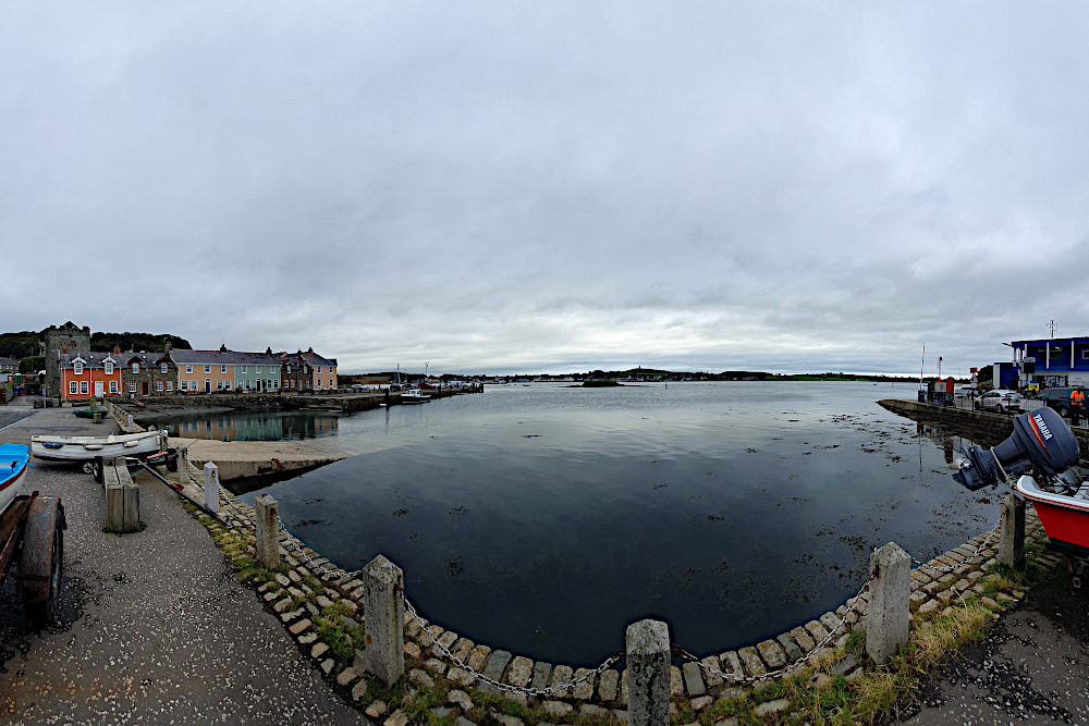
I cut across a somewhat larger chunk of Ireland later that day. County Monaghan pushes the border way to the north, which would have made an awfully long diversion. So I cut across it. Despite some incredibly black clouds floating about close to where I was, I managed to navigate this excursion into ‘abroad’ without too many issues, and popped back into Northern Ireland on the ferry across Carlingford Lough on Monday morning.

Sadly, although I wasn’t getting all that wet, the proximity of rain was definitely affecting the views as I rumbled up the eastern coast of NI. The Mourne Mountains were mostly hidden under clouds, and, although they look quite atmospheric in the gloom (above), it would have been nice to see their full magnificence.

The flip-side of the south-westerly wind that was pushing all the rain my way was a decent tailwind, so I made good progress back towards Belfast. Even the extra wait to cross Strangford Lough (due to the school ferry taking priority for some reason) didn’t hold me up too much.

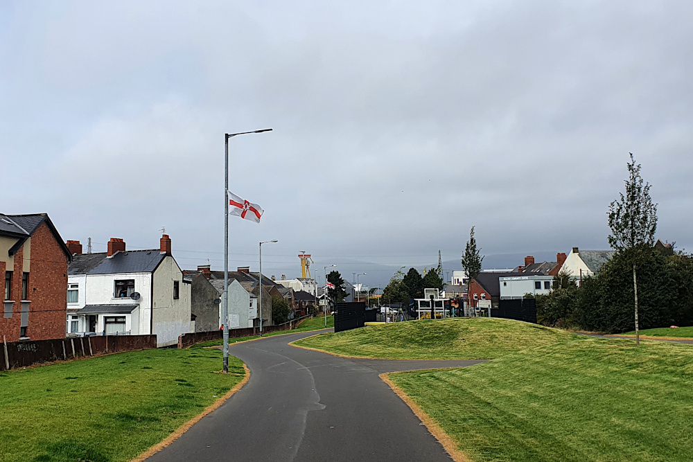
And so, yesterday morning (Tuesday), I finally located the awfully-signposted Greenway into central Belfast. This is a lovely piece of infrastructure, with a wide ribbon of nearly-new tarmac whisking you through the suburbs before suddenly dropping you off in central Belfast. It needs much better signs, as it took me nearly half an hour in the small town of Comber to find the far end of it, but once again, it’s good to see decent cycling facilities being put into various UK towns and cities.

Once I’d met the Big Fish again, thereby completing the circle of NI, it was just a case of retracing my earlier wheel tracks to the ferry port, and on to the Tuesday afternoon sailing back to Scotland, pursued this time not by rain, but by seagulls and competing ferries.

Although I’d have preferred some sort of open-jaw excursion to Ireland, without arriving back exactly where I started, it does at least mean that I get a few more days in Scotland before heading further south, back to England and then Wales.

But with new Covid spikes all over the place at the moment, it’s feeling less likely that I’ll make it back unmolested by local lockdowns or other restrictions. We’ll have to wait and see…

Deja Vu All Over Again

Once upon a time (in 2015) I got on a ferry to Northern Ireland with a bike, did a bit of a twiddle around, and then got on a ferry to Cairnryan in Scotland, and headed up the Ayrshire coast. I moaned about headwinds and rain, while marvelling at the beauty of the countryside. I wrote about it here.

Considering I’ve been (mostly) travelling in the opposite direction this time round, and deliberately changed the route where possible, I might have expected a different experience. In fact, it’s been much the same, but with added wise fish and castles.

20200901 2 Edit

I was amazingly lucky with the winds around northern Scotland, so I’m not going to whine now that things have returned to normal, and the Atlantic westerlies are sporadically chucking rain in my chops. Besides, the occasional forced route change or dive for cover can throw up the unexpected.

Staring down the barrel of over 110km into the leading edge of a storm on Tuesday, I found the spooky castle above by the simple means of cutting inland by a mile or two rather than plugging straight down the Scottish coast.

20200901 3 Edit

And, despite the best efforts of a 30mph headwind, the road along the coast was as beautiful as when I’d followed it in the opposite direction half a decade ago. Though I was struggling to convince myself that only being able to reach 9mph was good, because I had more time to appreciate the scenery.

Wednesday was predicted to be a washout, with rain warnings to add to the strong winds. I decided to spend as much of it as possible hidden in a ship, crossing to the capital of Northern Ireland. My cunning tactics kept me surprisingly dry until a cloudburst just as I approached Belfast’s Big Fish (below) in the city centre. The internet tells me that it’s actually a Salmon of Knowledge. Which means it should really have been able to tell me I was about to need emergency shelter…

20200902 2 Edit

I’d never spent any time in Belfast before, so a quick wander around was nice, despite the rain. Like every other city I’ve seen in the UK in the last few weeks, it’s got a ‘ghost town’ feel to the city centre at the moment.

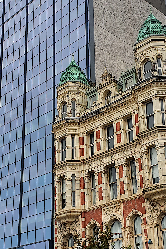
Covid effects aside, it has a slightly different feel to other UK cities (and not just because of the impact of the Troubles on the inner suburbs). To me, the centre feels a little bit American somehow, maybe reflecting the historic links between the island of Ireland and the USA. It also has the habit of juxtaposing old buildings right next to new ones, in a way which would be rare elsewhere in the UK.

20200902 4 Edit
By Thursday morning, it was time to head into the countryside. Having taken the decision to skip the lovely, but strenuous, Antrim coast this time (I’d had a good look on my previous trip), I was a bit surprised to find myself at the double bridge below.

20200903 1 Edit

I’ve got a very similar, but more cloudy, picture of a touring bike at this bridge from five years back. I’m still not entirely sure how what I thought was a brand new route turned out to be the exact road I’d taken before. But I did soon make sure I was into new territory by turning left at Coleraine.

20200904 1 Edit

This took me along the north of Northern Ireland towards the western edge of the UK. More significantly, it was taking me straight towards a fleet of heavy showers, which made yesterday’s (Friday’s) riding, erm, interesting.

With bright sunshine between the showers, and another howling headwind, I spent the day sprinting along soaking roads before diving under cover as another cloudburst hit. Thankfully, with countryside more similar to England than Scotland, there’s usually a little shelter from the wind, and plenty of cover from the rain, including the odd tunnel.

20200904 4 Edit

I’m now right up close to the UK’s only land border. Being a set of islands can sometimes make you forget your close links to other countries. It’s unavoidable here, from the mix of British, Irish and Northern Irish registration plates on the cars, to the double name and tumultuous history of Londonderry / Derry (below), one of the hotspots of the Troubles.

20200904 5 Edit

My last visit to this region was a long time ago (at least it feels it, being pre-Covid, pre-Brexit, and even pre-finishing the Round the World ride). It’s probably good to remember that the big problems in Northern Ireland have been over for a lot longer than that,despite occasional rumbles. And it’s great that the country is still as beautiful, and the people as friendly, as they were last time.

Now I just need the showers to stop…

Unpredictable Watery Ways

The UK is an archipelago of hundreds of islands, which means that the water between is always important.

It was the only way to get around for centuries, avoiding hostile terrain, tribes and bears. Especially in the more northern parts, and where the shoreline has been splintered by the Atlantic. But, though travelling by boat used to be the most reliable way to get around the islands in the west of the UK, that’s not necessarily the case in 2020.

20200829 4 Edit

Saturday was an unexpected little bonus. I’d planned to be on an early morning ferry out of the Hebrides to Mallaig on the mainland. I hadn’t factored in the local stock sales, which are apparently important enough to completely change the boat schedules. The good side of this was that it was now an evening sailing, which gave me a chance for a short trip to Eriskay (above) before I left the islands, which was nice.

The better side was that the sales apparently went very well for the locals, and I was plied with some top quality, free whisky while waiting for the boat in the evening. By farmers, who are not exactly well known for their largesse.

20200829 8 Edit

The downside was that the ferry was now taking me to Oban, further south than Mallaig, and cutting two spectacular riding days off the trip. It was also dark, meaning that my view of the Ardnamurchan Peninsular (above) was a little restricted. A shame, as that’s the westernmost part of Great Britain, which I’d been hoping to have a proper look at.

20200830 1 Edit

Still, the next morning I was back on the bike on the mainland. The sudden transition from the windswept, almost treeless islands to the lusher, more heavily-forested mainland was a little bit shocking. There were actually palm trees in the centre of Oban!

20200830 2 Edit

Once I’d got over the shock of swapping one micro-climate for another, I had a lovely day’s ride along the brilliantly-named Loch Awe. It’s worth noting, if you’re ever intending to do the same, that the map makes it looks like a road right by the loch side, which must be pretty flat. It really isn’t like that (above). But it was nice and quiet, and very pretty.

20200830 6 Edit

Loch Awe drops you off close to the Crinan Canal (above), which again shows the importance of water around here. It was dug to save huge amounts of time for boats coming out of Glasgow and heading for the west coast and islands. Being Scotland, it’s now got a rather lovely shared-use path along it. The canal essentially removed the need to go around the Kintyre Peninsular, which is a long finger of land, extending south to within a few miles of Northern Ireland.

20200831 1 Edit

This time it was Covid messing the boats up. There’s normally a small ferry from the tip of Kintyre to the Antrim Coast. But that’s been shut down this year. With the Isle of Man also out-of-bounds due to Covid restrictions, my only option to get to Northern Ireland is via Cairnryan, way to the south. So, while I started off yesterday down the Kintyre Peninsular (above), this was only with the aim of hopping onto the Isle of Arran…

20200831 10 Edit

…before hopping straight off again. The island is often described as Scotland in miniature, although the pass I had to ride over straight off the boat didn’t feel especially small. But using the island as a stepping stone between two ferries which were working as expected (hooray!) has worked a treat.

I’ve now just got a long run down the Ayrshire / Galloway coast to reach Cairnryan, and a boat to Ireland. It’s probably time to rebalance the number of miles covered by bike with the number covered by ship. This isn’t a blog about British ferries (if such a thing exists), after all.

But I hope Northern Ireland will give me that chance in the next few days.  Assuming I can get there…

Atlantic Edge

Well, the last few days have been a bit of a rush. And it’s not quite over yet.

I’ve had tailwinds all the way from Thurso. On the most exposed section of the ride, where the ‘normal’ should be rain-laden headwinds. I think I’ve made the most of the unexpected assistance. At the same time, both Covid and non-Covid related disruption to transport and tourist accommodation have made their presence felt much more up here than elsewhere in the country.

20200827 2 Edit

I guess it helps you to appreciate that this area is properly remote, by European standards, at least. From the small town of Thurso, near John o’Groats, to the small town of Stornoway (above) in the Outer Hebrides, where I wrote the last post, it’s over 140miles (about 230 km) of riding, plus a 3-hour ferry ride. In between, there’s a handful of villages and some stunning countryside – see the pictures on the previous post. But not much else. Apart from sheep. There are lots of sheep.

As the last post hopefully showed, I made a lot of ground quite quickly out of Thurso, along a route which got steadily more beautiful as I got further west. A little rain, but not enough to ruin things. A few midges (some of the bites are still itching several days later), but not the massive bloodthirsty midge-storms you sometimes hear about up here.

It was all going fine until Ullapool, where I really needed a shower, and instead found everything closed (to tents at least). So, a quick switch of direction led me onto the ferry to the Hebrides. At least it meant I didn’t have to agonise too much over whether to head for the islands or stick with mainland Scotland…

20200827 3 Edit

And the Outer Hebrides have been good. Dramatic scenery, of mountains which have been partially smashed over millions of years by Atlantic storms. Improved further by a following wind, which has pushed me along very easily. There’s even a marked Hebridean Way cycle route from top to bottom (like all the other signs up here, in Gaelic first, English second).

20200828 11 Edit

The only downsides are that it’s a cold northerly wind, and the thermals and winter gloves are out already. In August! And that ‘everything’s closed’ is a phrase which has cropped up far too much in the last couple of days.

Thursday began in Stornoway, and was intended to be a relatively gentle meander through Lewis and Harris (confusingly, these act as if they’re are two separate islands, but they’re definitely joined together). The Lewis part went nicely, zipping south at a rapid rate (above and below), although there was definitely a lot more heavy cloud than the forecast – light cloud and sunny spells – had suggested.

20200827 7 Edit

Unfortunately, the weather forecast got even less accurate as the afternoon went on. Harris, I’d been assured by other cyclists, was stunning, with some beautiful wild camping near lovely beaches. I couldn’t see it myself. Literally – all I saw was raindrops on my glasses, and sheets of rain sweeping across the landscape.

I was soaked and being chilled by the northerly wind. Not a great combination. I headed for the ferry stop at Leverburgh, on the basis that I could probably find somewhere to warm up and dry off before camping. No such luck. Everything apart from the ferry itself was shut, and the last one of those was about to head to the next island, Berneray. I got on it.

20200828 3 Edit

Some frantic phone tapping on the boat revealed that there were no open accommodation options within range on the other side. The Covid effect again. So it would be wild camping. Which would be fine, except that I was already shivering, and the chances of drying off properly in a little tent were low. I ended up staking my claim to the ferry waiting room on the other side; no heating, but four walls and a toilet, so it actually worked out OK, and I was warm, dry and ready to go early the next morning (onto North Uist – above).

20200828 5 Edit

And yesterday’s run down to the southern part of South Uist (via Benbecula – that’s a lot of islands already!) was lovely. The weather was what it should have been the day before, and I was jetting south along flat(ish) roads.

20200828 7 Edit

The biggest challenge along the Hebrides chain has been the single-track main roads (above). These are ‘A’ Roads, so you’d expect them to be high-volume, fast routes, possibly dual-carriageways. Things are different up here. There are some sections that have white lines down the middle, but also long stretches where you have to dart between passing places. I guess it’s another function of how remote and unpopulated this region is. But it makes for a really strange riding rhythm; sprinting and stopping all day, instead of a steady effort.

20200828 12 Edit

Anyway, I rolled down to close to Lochboisdale yesterday, in preparation for this morning’s early ferry to Mallaig, back on the mainland, and one end of what’s now known as the ‘Harry Potter Railway’.

But, in case it wasn’t already clear enough that I’m not on the mainland yet, there’s a cattle market on somewhere (I’m still not clear exactly where this is). This means that the Mallaig ferries are all cancelled. It would, perhaps, have been useful to know this before I charged the length of the Outer Hebrides, and possibly before I even got on the boat to Stornoway.

Thankfully, there is one ferry off South Uist before Monday, and that’s going late this evening (Saturday). I’ll be on it. But it’s not going to Mallaig, but to Oban (quite a lot further south, and chopping a couple of days off the ride). So I’ll miss Harry Potter. Hopefully, this won’t ruin my life too much, and things will become a bit more predictable and controlled when I’m back on the mainland, but we’ll have to wait and see…